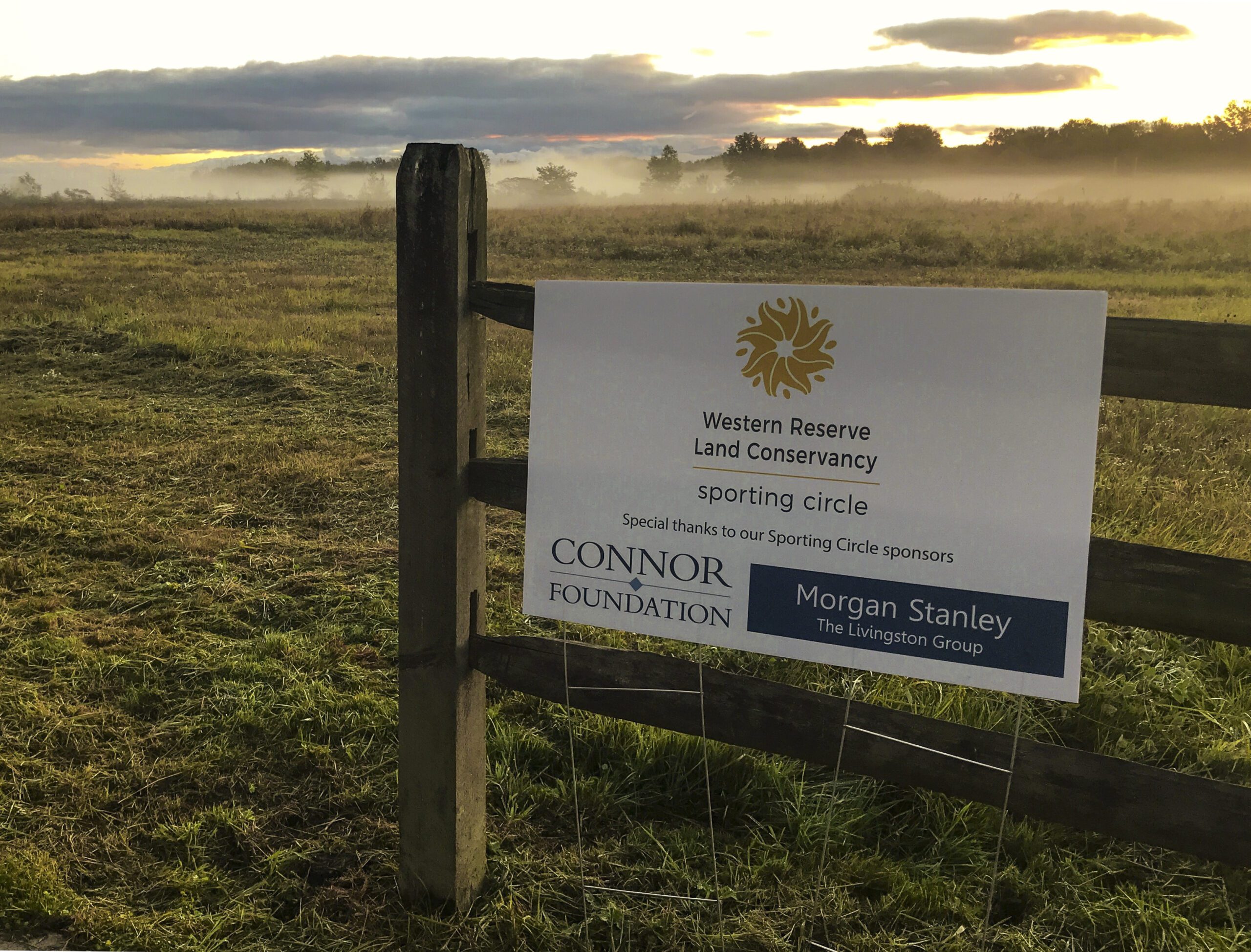
Located in Bloomfield and Orwell Townships, in an area once called “Bloomfield Swamp” by locals stretching back to the mid-19th century, these reborn wetlands have been renamed Sugar Island Preserve, the newest property to join the Land Conservancy’s Signature Parks and Preserves program.
Sugar Island Preserve includes 1,477 acres of protected land, of which over 300 acres are newly created and restored wetlands. Stretching across the Ashtabula-Trumbull County line and bordered by Penniman and Fenton roads on the west and east, it is the largest wetland area currently owned by the Land Conservancy.
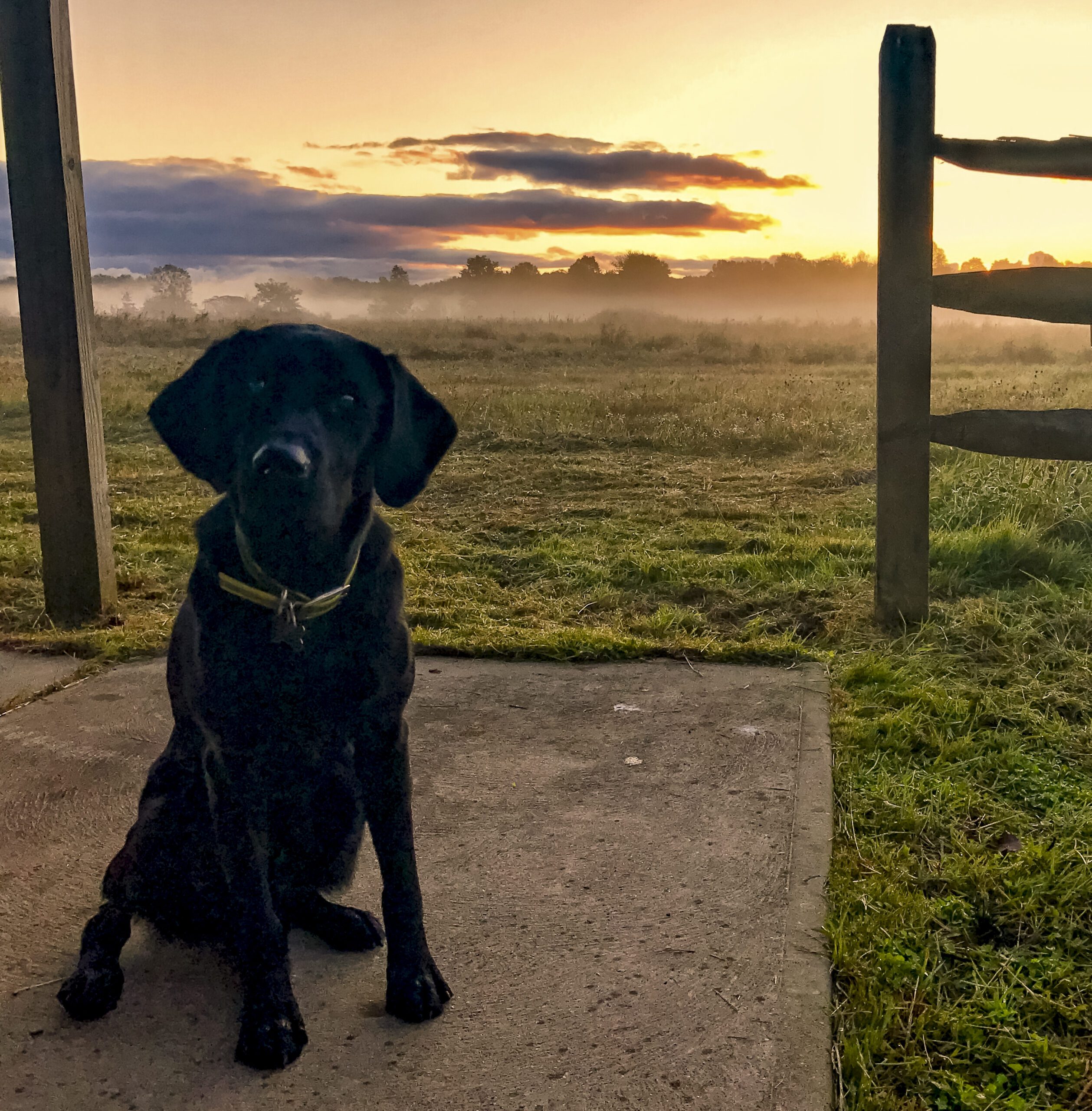
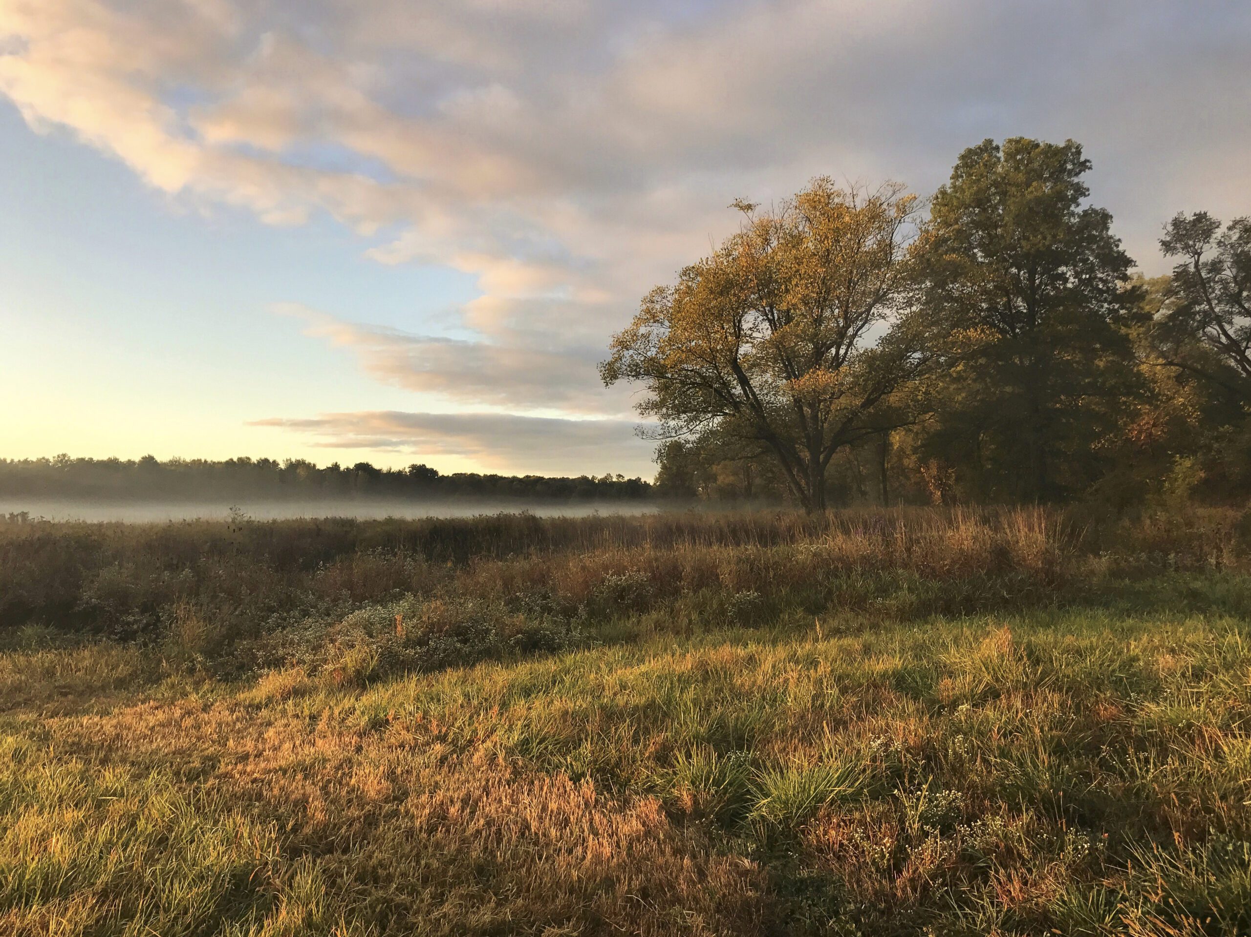
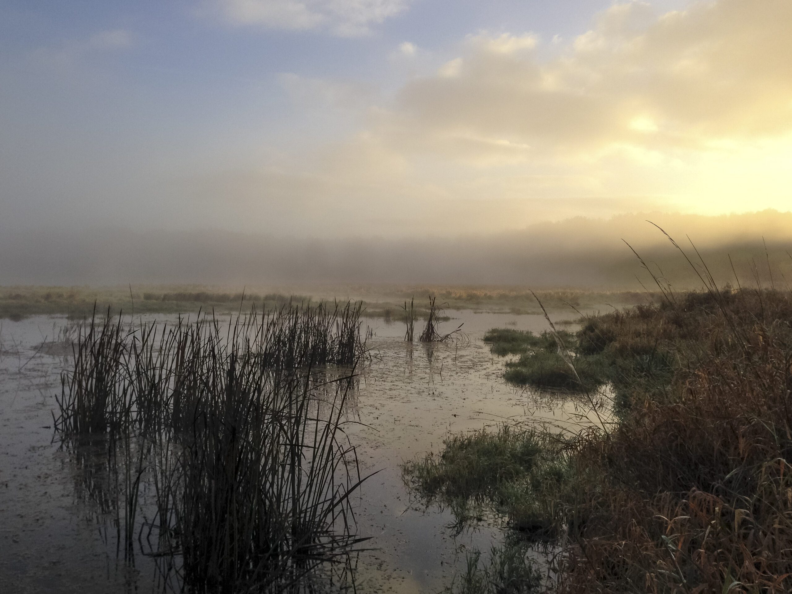
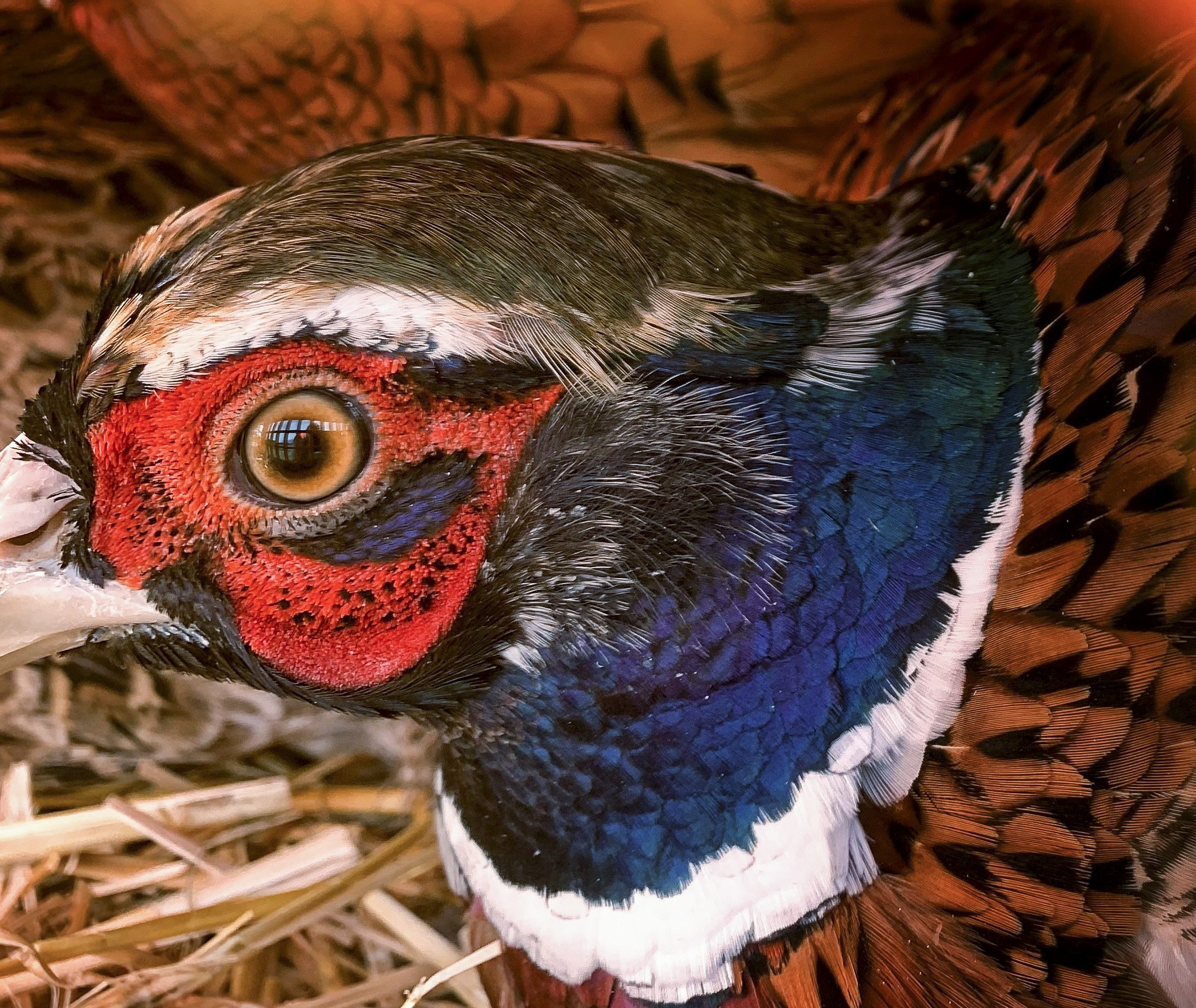
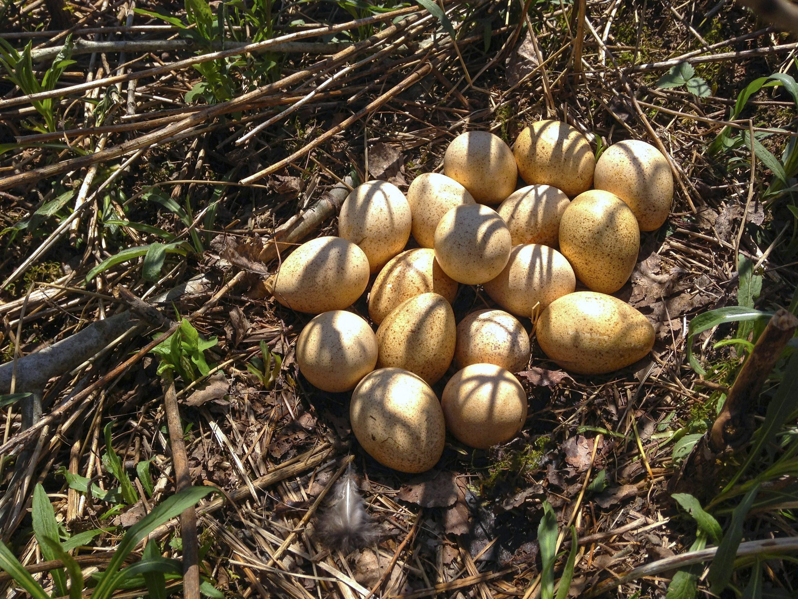
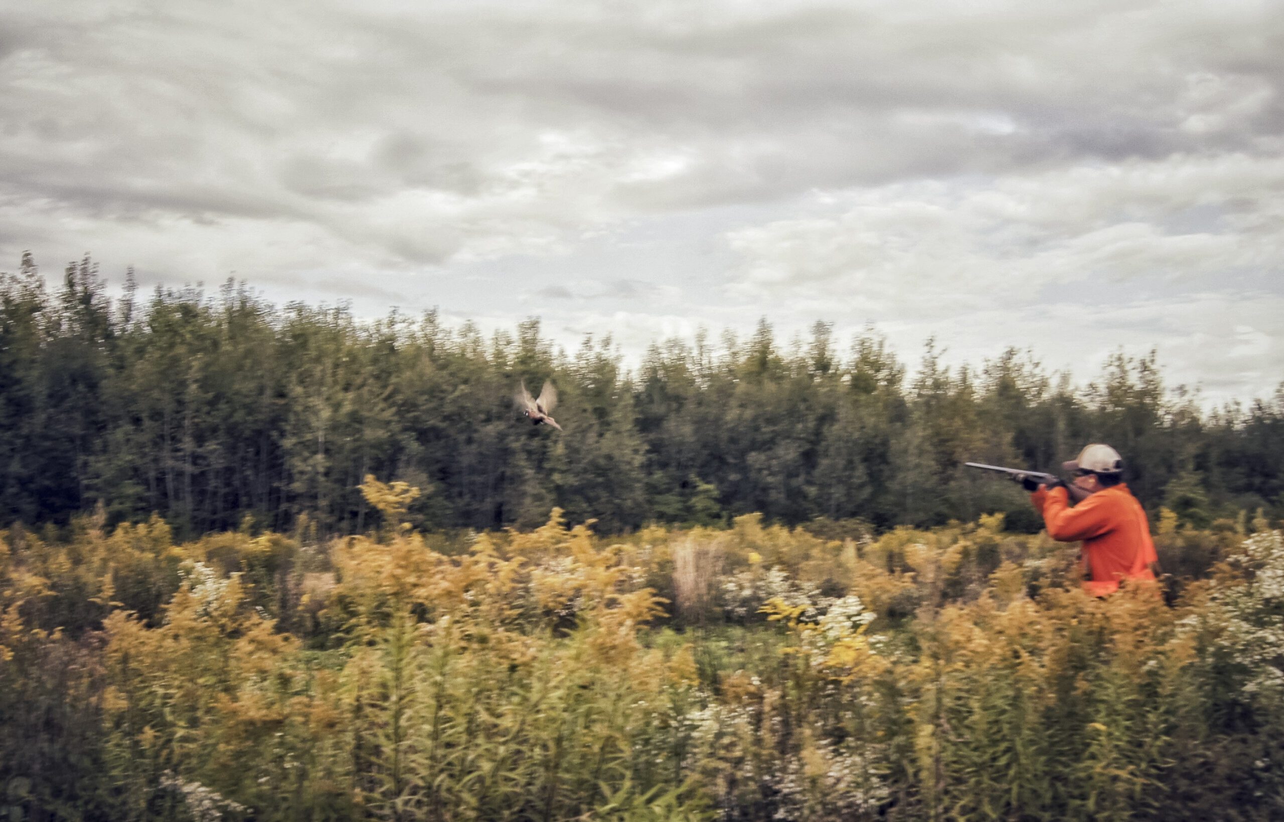
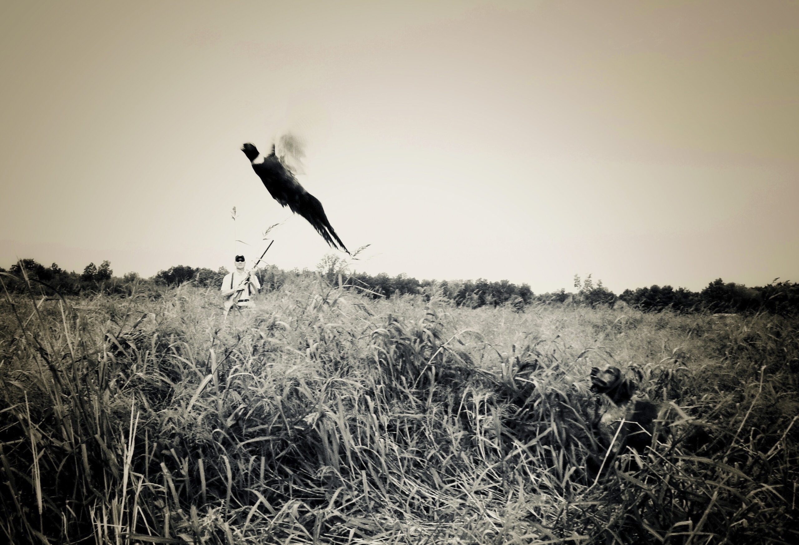
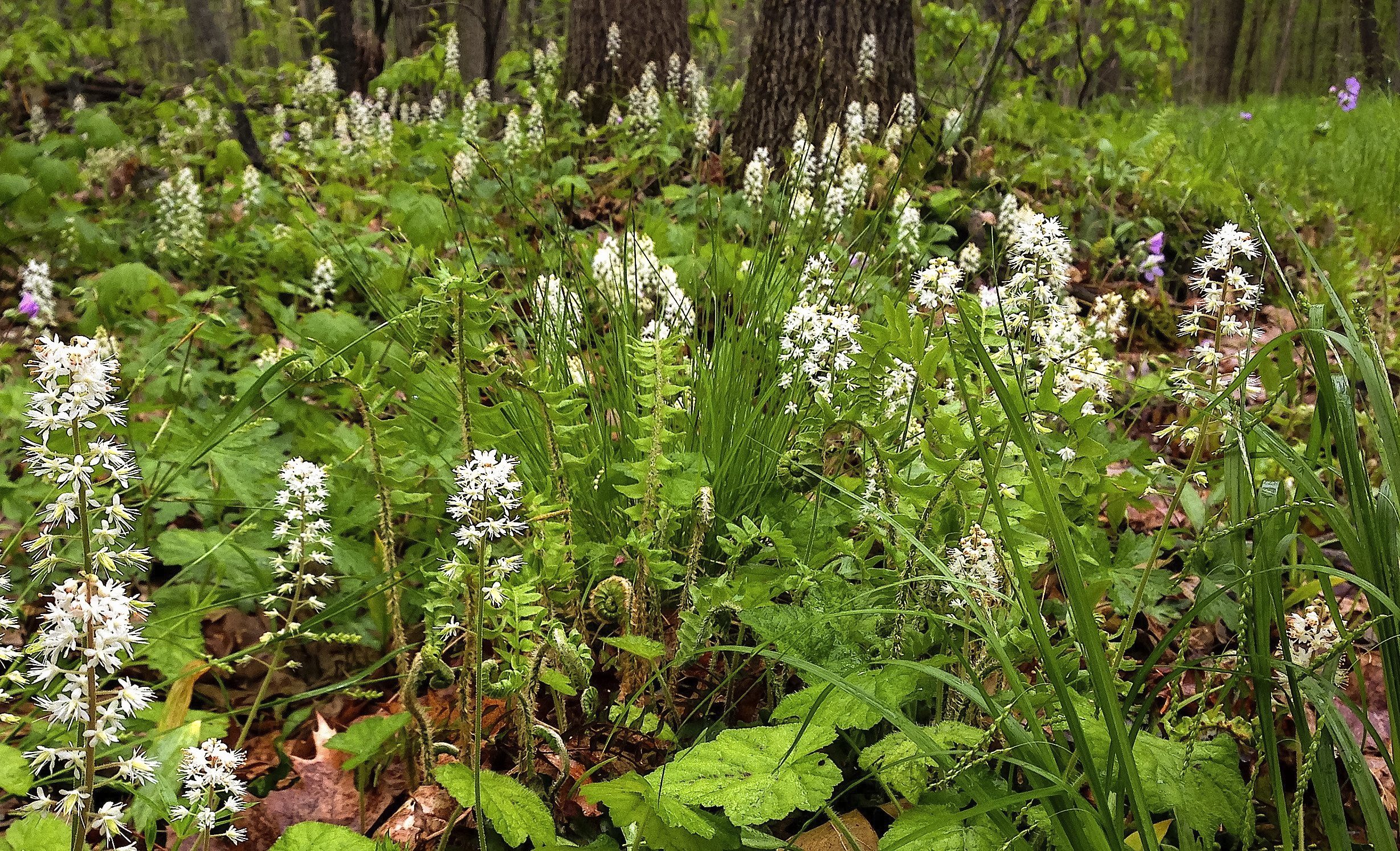
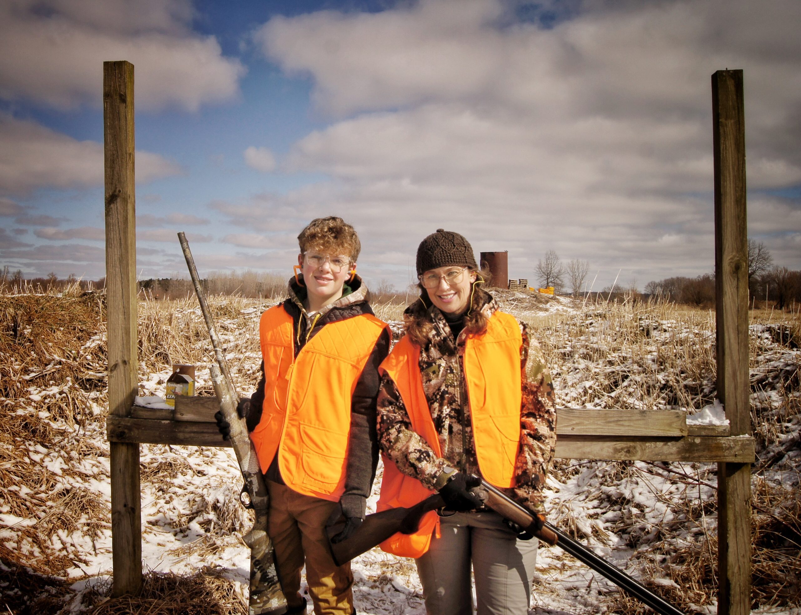
Visitors will now find shallow wetlands, mature forests, marshes, scrub-shrub swamps and wet meadows running south-north across this ancient glacial floodplain. Large quantities of invasive plants have been removed within the last two years by crews from the Nature Conservancy and EnviroScience Inc., creating opportunities for planted native species to become established. Northern harriers and sand hill cranes, both protected species in Ohio, fly over fields, while trumpeter swans and various species of ducks alight in water to rest and forage. The preservation and restoration of this site has created habitat for more than 18 state-listed species, and creates numerous opportunities for migrating water birds.
The wetland is now maintained through a system of two large water control gates, five fixed water control weirs and ancillary ditch plugs installed across the property. Together, these structures allow water to flow into and across the property. Natural water flow had been disconnected since 1913 due to the creation of Snyder Ditch. Now, instead of water, sediment and nutrients flowing downstream via Snyder Ditch, they flow ever so slowly across nearly three miles of restored wetlands. This allows sediment and nutrients to settle before water exits the site to downstream Lake Roaming Rock, the Grand River and, eventually, Lake Erie. During flooding events, the water control gates allow water from the wetlands to be transferred into Snyder Ditch in a stable manner. The gates also permit staff to create more diverse habitat by adjusting water levels at certain times in select areas, allowing desired vegetation to grow.
This large property had a long, colorful history before it’ recent restoration to a massive wetland. Originally inhabited by Native American tribes, drainage of the area began with settlement by early Ohio pioneers. Construction of a complex system of drainage ditches across it followed in the early 1900s to permit successful vegetable truck farming. One of the most notable producers was Ruetenik Gardens, which used the rich muck soil to raise dry and green onions, head and leaf lettuce, carrots, celery, cabbage, spinach, parsnips, cauliflower, and turnips from the 1920s to 1970s.
Subsequent land owners processed and sold the remaining muck as top soil, and bluegrass sod was raised on the farm into the 1980s. Construction of a construction debris dumping ground on the site was prevented in 1992 thanks to the outcry of local citizens.
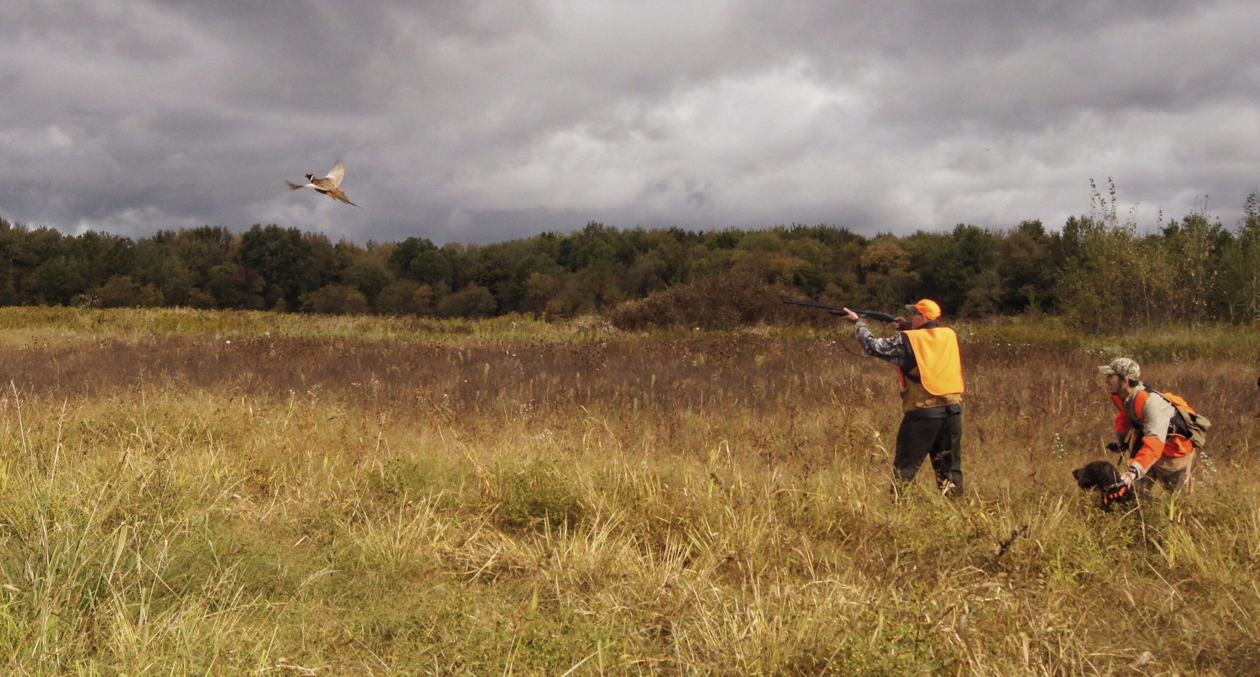
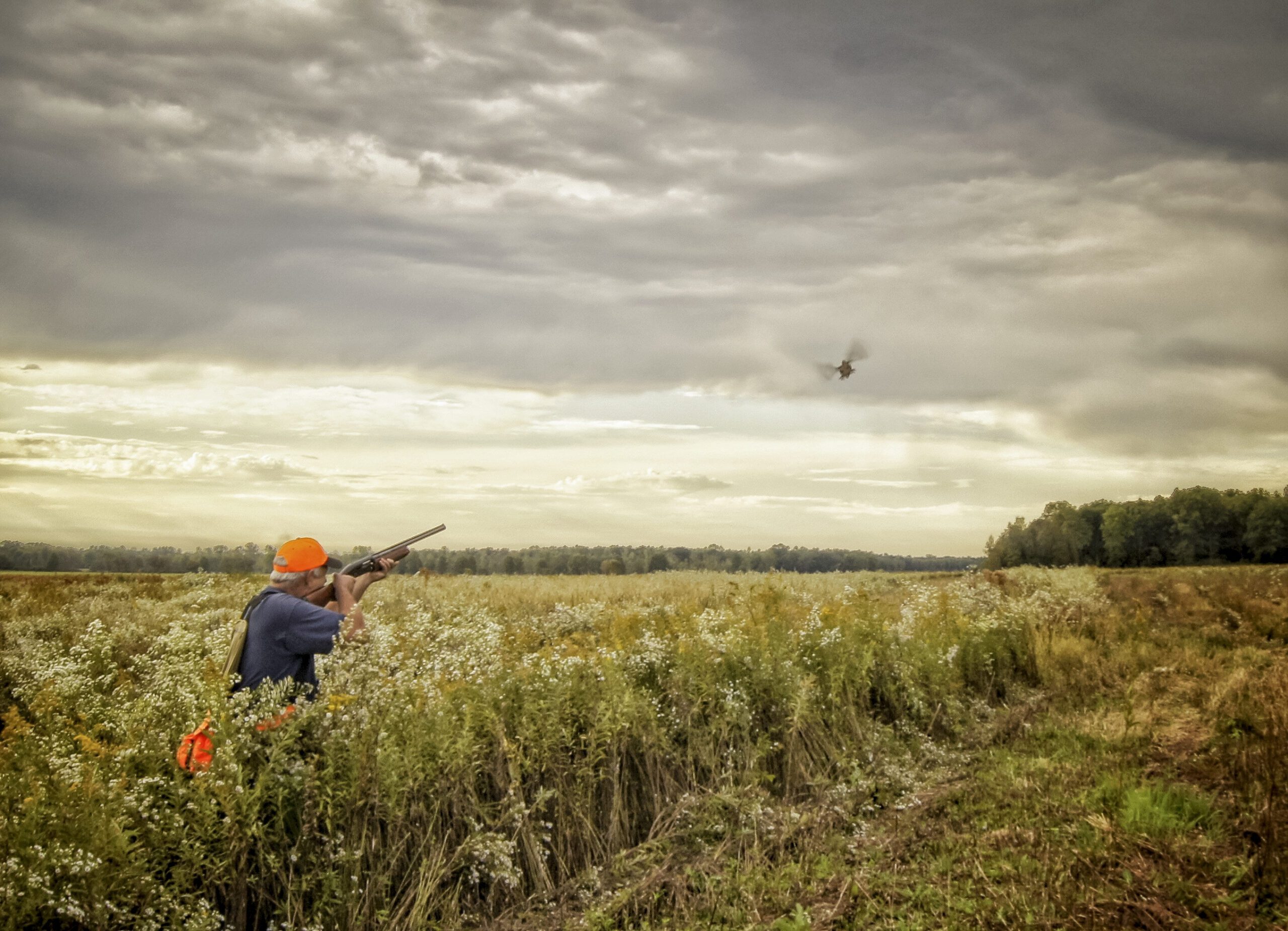
Today, the Sugar Island restoration is 95 percent complete. Remaining steps include planting 10,000 native trees in the spring of 2022, and ongoing monitoring and maintenance of invasive species. It is currently used for events and tours to engage people in conservation, restoration and outdoor recreation. Additionally, Youngstown State University students use the Preserve for field research, with access to a restored building on site that serves a dual purpose as field station and Land Conservancy regional office.
To learn more about Sugar Island Preserve or one of our other properties, contact the Land Conservancy today.