
Using our Geographic Information System (GIS) and city planning expertise, we work with cities and neighborhood groups to inventory all parcels in a given community and conduct a land use analysis. Property Inventories provide real time data to communities, with interactive mapping and geographic analysis for a variety of property factors like structure condition, vacancy, and city infrastructure, in addition to other factors such as illegal dumping.
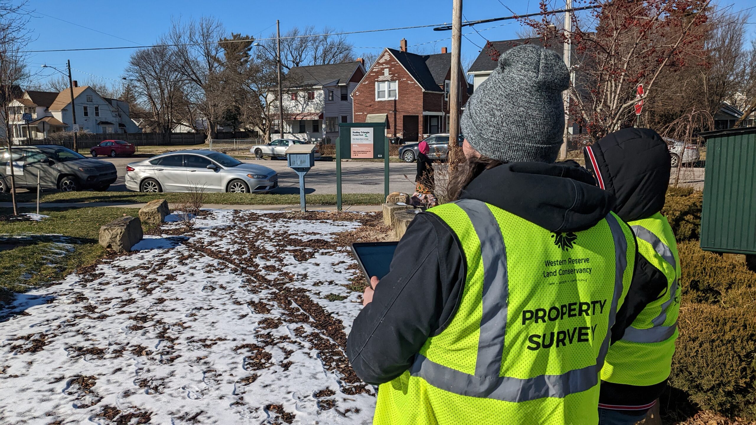
On parcels with residential homes, a surveyor will collect data answering approximately 30 questions. Questions about the parcel itself can include whether the property has a structure, driveway, or fence, along with the condition of the lawn or landscaping. Questions about any structures on the property can include what kind of structure it is, the condition of the siding, if there are broken windows, and if it looks vacant or in-use. Surveyors also look at the surrounding area of the parcel, evaluating the condition of the sidewalk, if there are any street trees, and more.
Following the completion of the project, the raw data is delivered to your city government. Our team cleans and analyzes the final dataset and creates a Storymap presentation of the survey findings. Parcel level data for your community can be accessed at Regrid.com or through the Regrid Property app. With your community’s permission, this data will also be provided to a regional public database, like Northeast Ohio Community and Neighborhood Data for Organizing (NEO CANDO) for Cuyahoga County cities. These regional databases collect and store our property inventory data to be used for public access, education, and institutional research.
Access All Property Inventories
For questions about our process for property inventories, reach out to Western Reserve Land Conservancy today.