Property survey set to begin in five of Cleveland’s eastside suburbs
The cities of Euclid, Garfield Heights, Maple Heights, South Euclid, and Warrensville Heights are ready to launch a survey of all 50,000 residential parcels in the municipalities – and the buildings associated with them – to develop an updated snapshot of the condition of these properties.
These cities have endured high rates of mortgage foreclosures, having had between 29 and 41 percent of their housing stock in foreclosure at some point since the housing crisis began nearly a decade ago. Sally Martin, Housing Director for the City of South Euclid noted, “By teaming up with other municipalities facing similar issues of vacancy and abandonment and collecting property data, we will better be able to make strategic and cost-effective decisions to support each of our communities.”
The survey, conducted by the nonprofit Western Reserve Land Conservancy, will start in early July in Euclid, and then move to South Euclid, Warrensville Heights, Maple Heights and Garfield Heights. It is expected to be finished by late August. The project is being funded by the Cleveland Foundation.
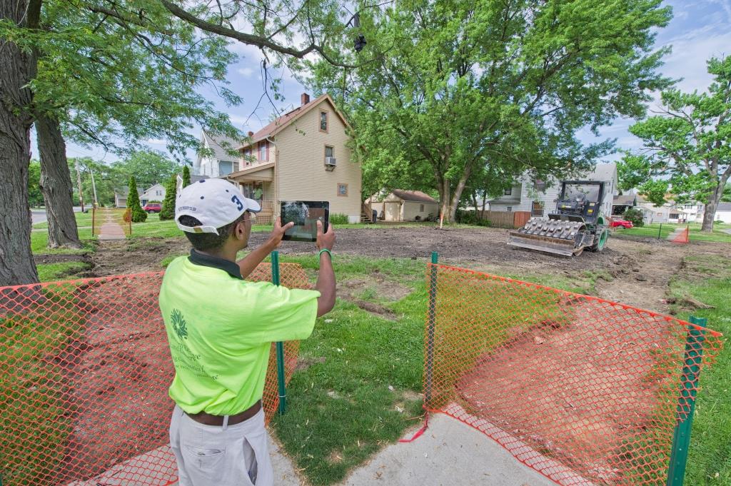
Matt White, director of GIS and information services for the Land Conservancy, said surveyors – staffed primarily by residents of the five cities – will work in teams of two and gather information while on sidewalks and public rights-of-way. Information about each parcel, including whether it is vacant, the condition of any structures on it and a photo, will be recorded on a tablet computer.
Leveraging the survey results and the existing data resource of Northeast Ohio Community and Neighborhood Data for Organizing (NEOCANDO), Dynamo Metrics will create a web-based property intervention decision support tool for these communities.
“Our previous property survey work in places like Akron, Cleveland, Dayton, Lorain and Sandusky has proved the importance of having this valuable information,” emphasized Jim Rokakis, Land Conservancy vice president and director of its Thriving Communities program. “City officials and community development officers are able to use survey results to make data-driven decisions to prioritize rehabilitation and demolition of structures with available funds.”
